Table of Contents
- 1 Introduction to Navigation and Communication Tools for Preppers and Survivalists
- 2 Essential Navigation Tools for Preppers
- 3 Advanced Communication Gear for Survivalists
- 4 Alternative Communication Methods
- 5 Integrating Navigation and Communication Tools for Enhanced Survival Preparedness
- 6 Training and Practice
- 7 Real-World Applications and Use cases
- 8 Modern Emergency Situations and Navigation Challenges
- 9 Lost in Wilderness: Survival and Rescue
- 10 Final Remarks on Navigation and Communication Tools
- 11 Frequently Asked Questions about Navigation and Communication Tools
- 11.1 What are the essential navigation tools for preppers?
- 11.2 How can preppers integrate navigation and communication tools effectively?
- 11.3 What training is recommended for using navigation and communication tools and gear?
- 11.4 What modern emergency situations pose challenges to traditional navigation methods?
- 11.5 How can one increase chances of survival when lost in the wilderness?
Views: 5
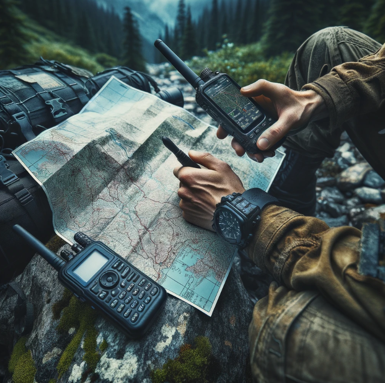
Navigation and communication tools are crucial for survival as they help individuals find their way in unfamiliar terrain. These tools can be a lifesaver during emergencies, ensuring that preppers and survivalists reach safety. Communication tools play an equally vital role by enabling connectivity with others, especially in a survival situation when traditional means fail.
Preppers rely on various navigation aids like GPS devices, compasses, maps, and even celestial navigation techniques to navigate through challenging landscapes. For communication purposes, ham radios come in handy due to their long-range capabilities. LoRaWAN, a low-power wide-area network technology, allows for long-distance communication without relying on traditional cellular networks.
Survivalists use signaling mirrors to attract attention over long distances or when stranded without other means of communication. Flares serve as effective signaling devices during emergencies or distress situations where immediate assistance is required. Having these tools ensures that preppers and survivalists can signal for help effectively in critical scenarios.
What Readers Will Learn from the Article
Readers will gain insights into the diverse range of navigation tools and skills utilized by preppers and survivalists to bolster their preparedness levels significantly. From understanding traditional navigation methods such as map reading to embracing modern technologies like GPS devices and ham radios.
Understanding GPS Devices
When we bring up navigation tools GPS devices are crucial navigation tools for preppers and survivalists, offering accurate location information and directions through satellite signals. These devices come equipped with digital maps that assist in understanding the terrain during outdoor expeditions. By utilizing grid coordinates or magnetic north, GPS devices can pinpoint exact locations, ensuring safety by providing precise navigation techniques.
An introduction to GPS devices reveals their high level of accuracy and reliability as primary navigation tools. They function by receiving signals from satellites to determine precise coordinates, enabling features like mapping, route planning, waypoint marking, and tracking. This technology enhances the navigational experience by offering real-time information vital for prepping and survival scenarios.
Advantages and Limitations of Using GPS in Survival Situations
While GPS provides accurate real-time navigation data in survival situations, it may encounter limitations in remote areas with poor satellite reception. Despite this drawback, these devices empower preppers and survivalists to navigate unfamiliar wilderness areas effortlessly. To mitigate risks associated with potential failures in remote regions, it is essential to have backup navigation techniques readily available.
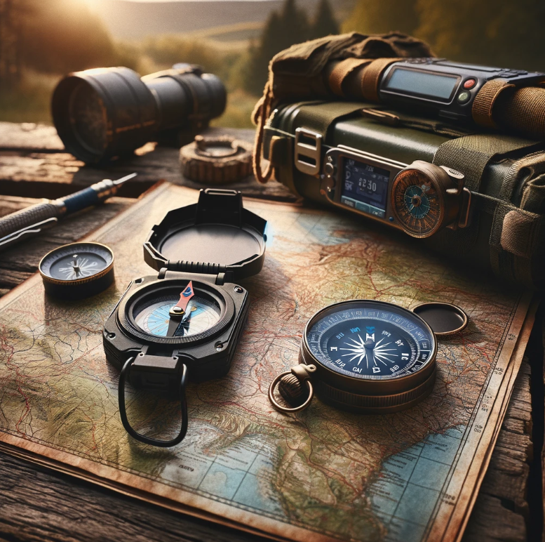
Traditional navigation methods such as relying on natural elements like the sun, stars, compasses, and maps offer invaluable skills when digital tools falter or when navigating areas lacking GPS coverage. These time-tested techniques have been utilized for centuries by explorers and navigators worldwide due to their reliability regardless of technological advancements.
Compasses serve as magnetic instruments pointing towards Earth’s magnetic north pole; they play a pivotal role in traditional navigation methods. Map reading involves interpreting topographic maps detailing location specifics like directionality landmarks elevations aiding effective orientation within an area devoid of modern technology reliance.
- Compasses: Magnetic instruments indicating Earth’s magnetic north.
- Map reading: Interpreting topographic maps aids determining location specifics effectively. Familiarizing oneself with these traditional methods lays a strong foundation for mastering different environments’ navigational challenges.
Advanced Communication Gear for Survivalists
Ham Radio for Emergency Situations
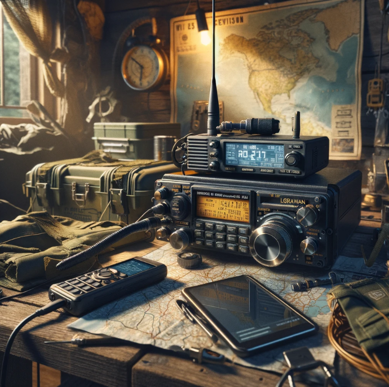
Ham radio, also known sometimes as amateur radio, is a vital communication tool for survivalists and preppers. It serves as a reliable means of communication during emergencies when traditional methods fail. In remote areas, ham radios are indispensable for obtaining crucial information and aiding in navigation.
Operating on licensed frequencies, ham radios transmit voice, data, and emergency messages over long distances. During disasters or crises when internet connectivity is compromised, ham radios become essential tools for relaying critical information. By passing an examination administered by the Federal Communications Commission (FCC), individuals can obtain a license to operate ham radio equipment legally. However it can even be used to transmit data such as information about cryptocurrency for preppers and survivalists living off the grid!
- Pros:
- Reliable communication during emergencies
- Long-distance transmission capabilities
- Essential in disaster scenarios
- Cons:
- Often requires licensing
- Limited to specific frequency bands
LoRaWAN for Your Own Long Range Wireless Networks
LoRaWAN technology empowers survivalists to establish their own long-range wireless networks in remote wilderness areas. This innovative system enables the creation of personalized networks that facilitate sharing digital maps and coordinates among preppers and survivalists. By leveraging LoRaWAN technology, individuals can ensure connectivity even in the most isolated locations.
Utilizing low-power wide-area network technology, LoRaWAN allows devices to connect wirelessly over vast expanses with minimal energy consumption. Its applications extend beyond personal use into various sectors like smart agriculture, asset tracking, environmental monitoring, and disaster response efforts. LoRaWAN can also be used to relay crypto transactions!
- Set up your LoRaWAN network by deploying gateways that receive signals from devices.
- Ensure seamless communication across large areas with minimal power usage.
- Benefit from resilient communication networks suitable for challenging environments.
Alternative Communication Methods
Discussing Non-Electronic Communication Methods
Non-electronic navigation and communication tools and methods are crucial for preppers and survivalists. These tools and methods offer alternative ways to navigate when digital maps or electronic devices are not available. For instance, compasses provide directional guidance based on the Earth’s magnetic field, ensuring accurate navigation even without technology.
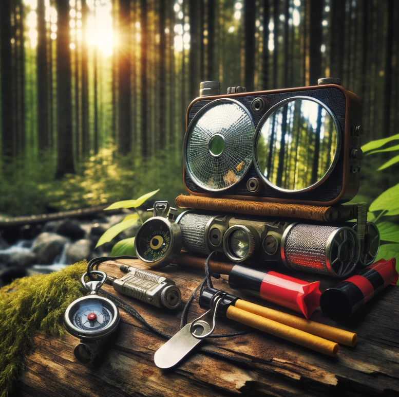
Maps play a vital role in helping preppers understand their surroundings and plan routes effectively. By utilizing celestial navigation techniques, such as using stars or the sun to determine direction, individuals can navigate accurately regardless of technological failures. Having these non-electronic tools at hand ensures that preppers can navigate safely in any situation.
Signaling mirrors serve as essential tools for attracting attention from rescuers by reflecting sunlight over long distances. Flares, on the other hand, produce bright lights that can be seen from afar, aiding in signaling for help during emergencies. Techniques like whistle blowing create audible signals that can alert others to one’s presence in remote locations.
Other methods like smoke signals or flag waving also play a critical role in communicating distress or location information when electronic means are unavailable. These diverse non-electronic communication tools provide preppers with versatile options to ensure effective navigation and communication during survival situations.
Creating Reliable Emergency Preparedness Kits
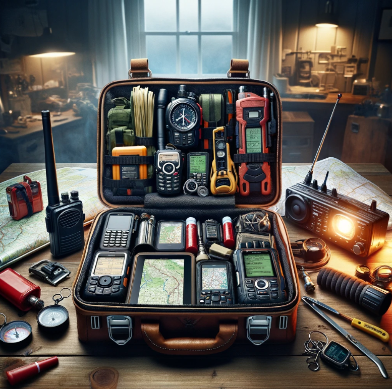
In survival situations, having reliable navigation tools is crucial. Including these in emergency preparedness kits can be a lifesaver. Essential techniques like using the sun’s position or creating fire can guide lost individuals. For camping or wilderness trips, must-have tools include compasses, maps, and GPS devices.
Natural elements like the sun’s movement or wind direction play vital roles in navigation.
To integrate navigation and communication effectively into emergency preparedness kits, compact GPS devices with extra batteries are essential. Portable ham radios or handheld transceivers with spare batteries and solar chargers are valuable additions. Signaling devices such as mirrors, flares, whistles, and signal flags enhance visibility during emergencies. Emergency preparedness is critical in crisis situations!
Recommendations for Lightweight and Durable Gear
For lightweight navigation and communication tools and gear, look for GPS devices that are not only compact but also ruggedized for outdoor use. Portable ham radios should be durable while offering long battery life to ensure communication when needed most. Opting for signaling devices made of high-quality materials guarantees they withstand harsh conditions without failing.
Training and Practice
Regular training is crucial for maintaining proficiency in using navigation and communication tools. By practicing using GPS devices, individuals can enhance their ability to navigate various terrains and scenarios effectively. Familiarizing oneself with ham radio operations through consistent usage and participation in drills or exercises is essential for developing skills.
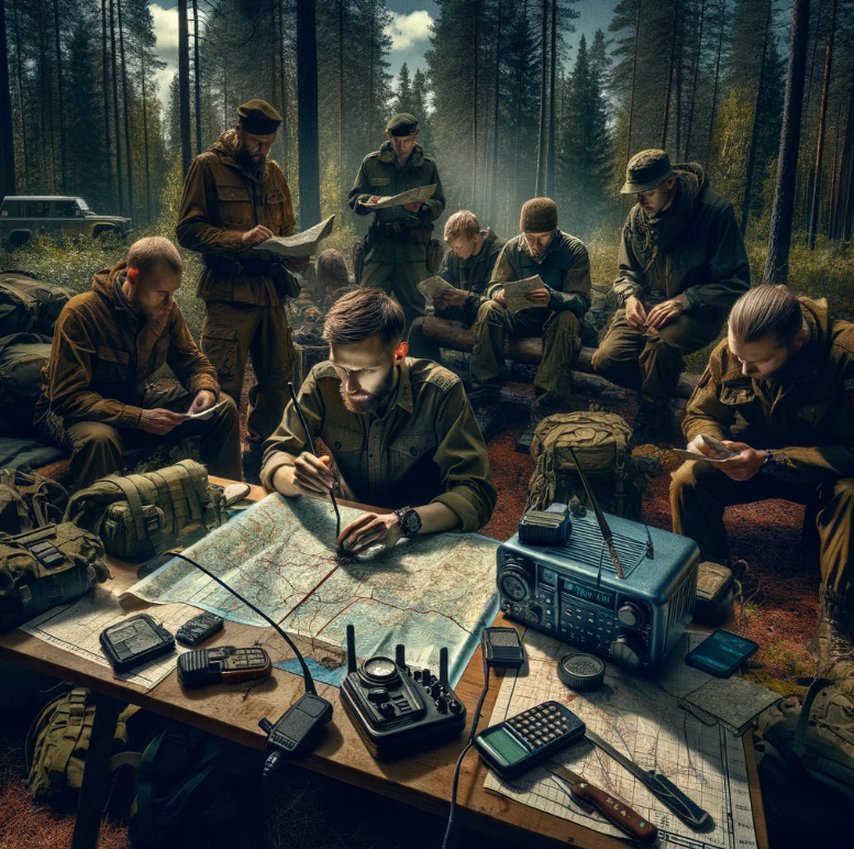
Engaging in orienteering events or geocaching activities can significantly improve one’s navigation skills as practical experience enhances the understanding of map reading, compass navigation, or wilderness survival techniques. Furthermore, taking courses on these subjects provides structured learning opportunities to bolster one’s knowledge base. Joining local amateur radio clubs or organizations offers a platform to expand ham radio expertise through shared experiences within the community.
Suggestions for practice exercises and courses
- Participate in orienteering events or geocaching activities
- Take courses on map reading, compass navigation, or wilderness survival
- Join local amateur radio clubs or organizations
Real-World Applications and Use cases
Use cases in Survival Situations
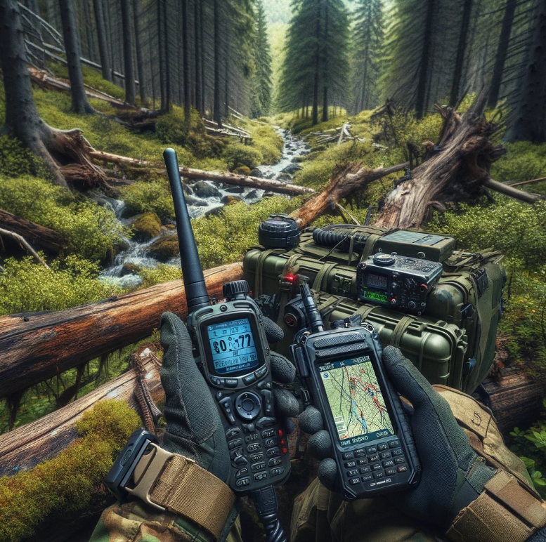
Navigation tools for preppers and survivalists are crucial in various scenarios. In survival situations, these tools help individuals find their way back to safety or locate essential resources. For example, if someone is lost in the wilderness, a map and compass can guide them to safety by identifying landmarks or following a specific route.
Understanding how to use natural elements like the stars or wind patterns can also aid in navigation when traditional tools are unavailable. Preppers and survivalists often rely on these skills during emergencies when access to technology is limited or nonexistent.
When navigating through unfamiliar terrain, preppers and survivalists utilize various techniques to stay on course. One common method is dead reckoning, where individuals estimate their current position based on previously known locations and directions traveled. By keeping track of distances covered and changes in direction, they can maintain a sense of orientation even without advanced equipment.
Moreover, utilizing topographic maps along with landmarks such as rivers or mountain ranges can provide valuable reference points for navigation. These visual cues help preppers establish their position accurately within an unknown area while avoiding getting disoriented.
Tools to Determine Direction Without a Compass
In situations where a compass is not available, preppers employ alternative methods to determine direction accurately. One such tool is the analog watch method; by pointing the hour hand towards the sun and bisecting the angle between the hour hand and 12 o’clock marker, one can find south (in the northern hemisphere) or north (in the southern hemisphere).
Using natural indicators like moss growth patterns on trees (moss typically grows more on shaded sides), prevailing wind direction (evidenced by tree lean), or animal behavior (birds flying towards water sources at dawn) can offer insights into cardinal directions without relying solely on conventional compasses.
Natural Disasters: Lessons in Urgency and Coordination
In survival situations, urgency and coordination are vital. When facing natural disasters like hurricanes or wildfires, effective navigation tools can be lifesaving. For instance, during a wildfire evacuation, GPS systems help direct individuals to safety zones efficiently.
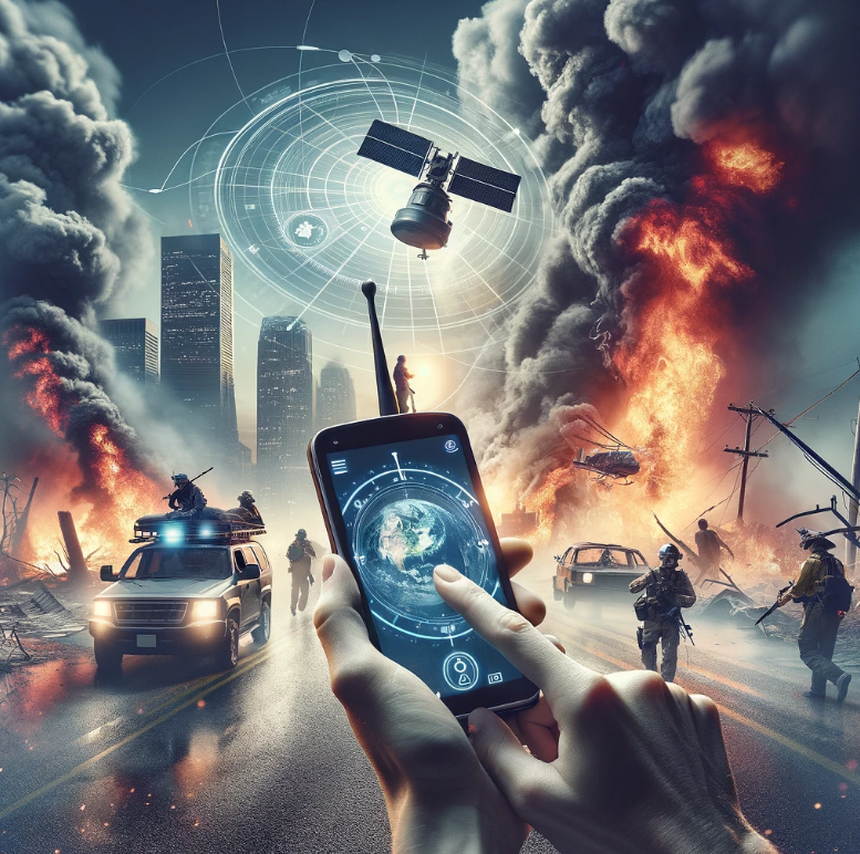
During emergencies in the wilderness, having experience with navigation tools is crucial for survival. GPS systems and satellite phones have played pivotal roles in rescue operations during hurricanes. The use of digital maps enhances safety by providing accurate location information for emergency services.
Effective navigation techniques become paramount when dealing with medical emergencies or extreme weather conditions. In such situations, situational awareness is key to ensuring personal safety and timely access to emergency services. By employing modern navigation tools, individuals can navigate through challenging terrains more effectively.
Lost in Wilderness: Survival and Rescue

In the wilderness, navigation tools for preppers might not always be available. In such situations, individuals must rely on traditional methods to find their way. Techniques like using the sun’s position can help determine direction without digital assistance.
Understanding how to navigate in the wild is crucial during survival scenarios. Survivalists often undergo training courses that emphasize these skills. Knowing how to read natural signs like wind patterns or animal behavior can guide lost individuals back on track.
Importance of Magnetic North
One key aspect of navigating without digital tools is understanding magnetic north. In emergency situations, knowing where magnetic north lies can be a lifesaver. By utilizing a simple compass or even makeshift ones from natural materials, survivors can orient themselves correctly.
In conclusion, the integration of advanced communication gear with essential navigation tools can significantly enhance survival preparedness for preppers and survivalists. By combining these technologies effectively, individuals can mitigate risks, improve coordination during emergencies, and increase their chances of a successful outcome in challenging situations. Training and practice play a crucial role in mastering these tools, ensuring that individuals are well-prepared to navigate modern emergency scenarios and overcome navigation challenges.
For those interested in bolstering their survival skills further, continuous learning and hands-on experience are key. Engaging in real-world applications, honing navigation techniques, and staying updated on the latest tools and methods will contribute to a more robust preparedness strategy. Remember, preparation is the cornerstone of survival – stay informed, stay trained, and stay safe.
Preppers should have a compass, topographic maps, signaling mirror, and a whistle. These tools help in determining direction, location awareness, signaling for rescue, and communication during emergencies.
To enhance survival preparedness, preppers can combine navigation tools with communication devices like two-way radios or satellite phones. This integration ensures efficient coordination between team members in remote areas or during disasters.
Preppers should undergo hands-on training on map reading, compass use, radio operation protocols, and distress signal methods. Regular practice sessions improve proficiency in utilizing these tools effectively during emergencies.
In urban navigation scenarios such as cities or wilderness navigation scenarios such as dense forests with limited visibility of landmarks due to natural disasters or infrastructure damage. Also in cases of cyber attacks, EMPs or Solar Flares affecting GPS signals leading to unreliable positioning information for individuals relying solely on electronic devices. Keeping Faraday bags and other such items with a spare phone and or computer, SD Cards/USB Drives/Hard Drives, a radio, and other useful electronics in it might also be a good idea in such events once services are on. Keep backups of important information pre-loaded on them.
How can one increase chances of survival when lost in the wilderness?
Stay calm to conserve energy; assess surroundings for shelter; prioritize water storage solutions and collection methods; signal rescuers using reflective objects or sounds; follow basic survival priorities: protection from elements first aid fire food water signaling before attempting self-rescue efforts while staying put if not properly trained. Overall one of the worst things to do is panic in a crisis.


Pingback: Top 10 Things You Need to Survive in the Wilderness
Pingback: 10 Essential Steps to Starting a Thriving Prepper Community